NASA began collecting and archiving remote-sensing satellite imagery in the late 1970’s. These images were difficult to process and generally not publicly accessible. In 2013, the entire Landsat database became available online.
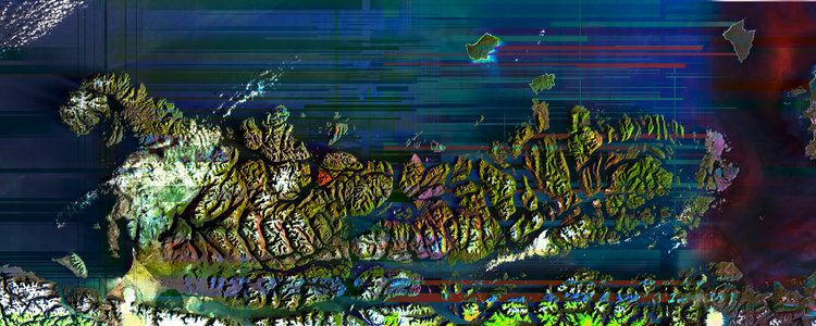
Newer satellites collect light reflectance from across the electromagnetic scale including visible wave-lengths, short-wave infrared, long-wave infrared, thermal waves and more. When each wavelength is captured, it is processed and available as a raw grayscale record of the received light values reflected from the earths surface.
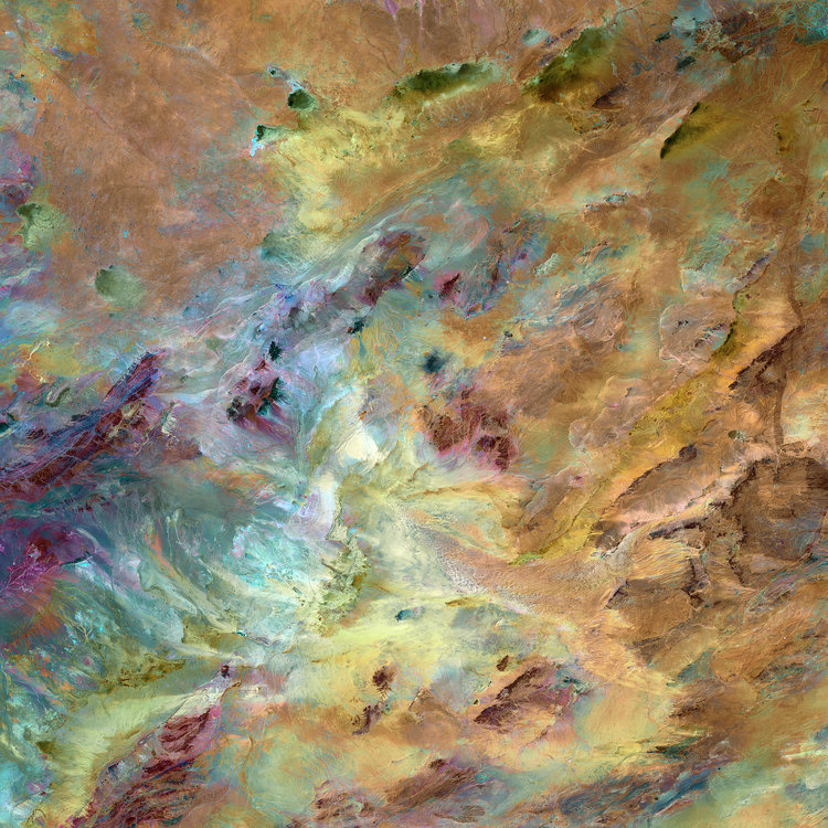
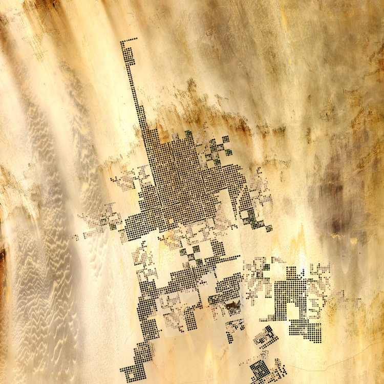
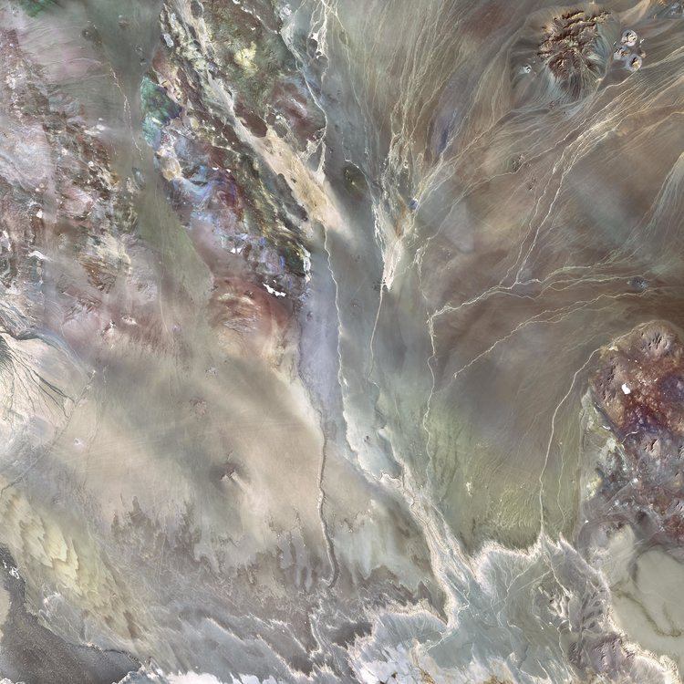
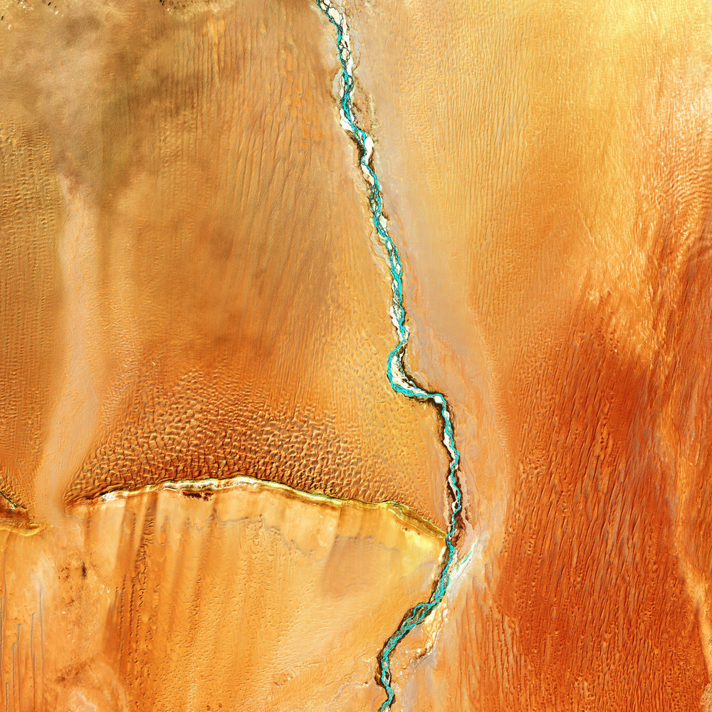
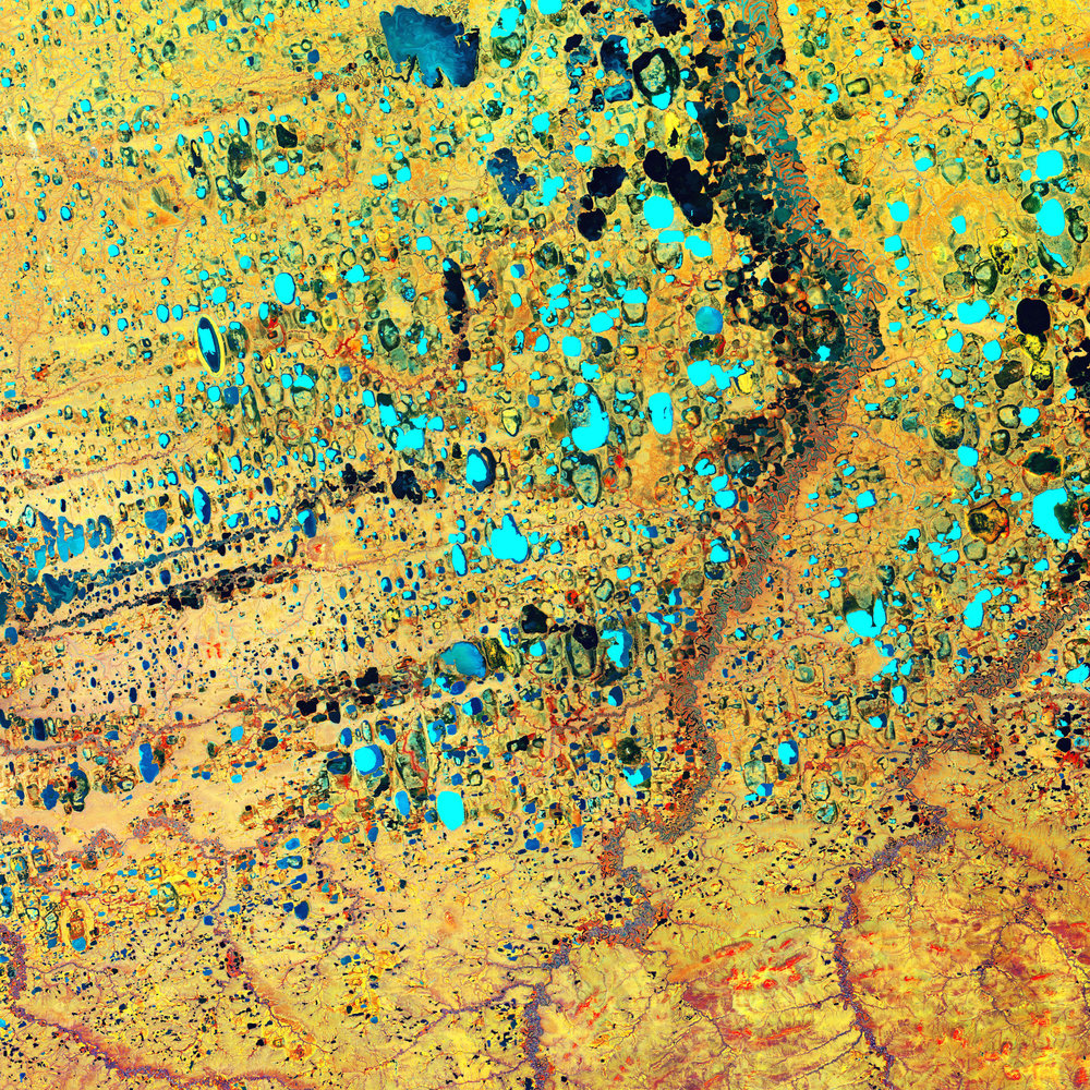
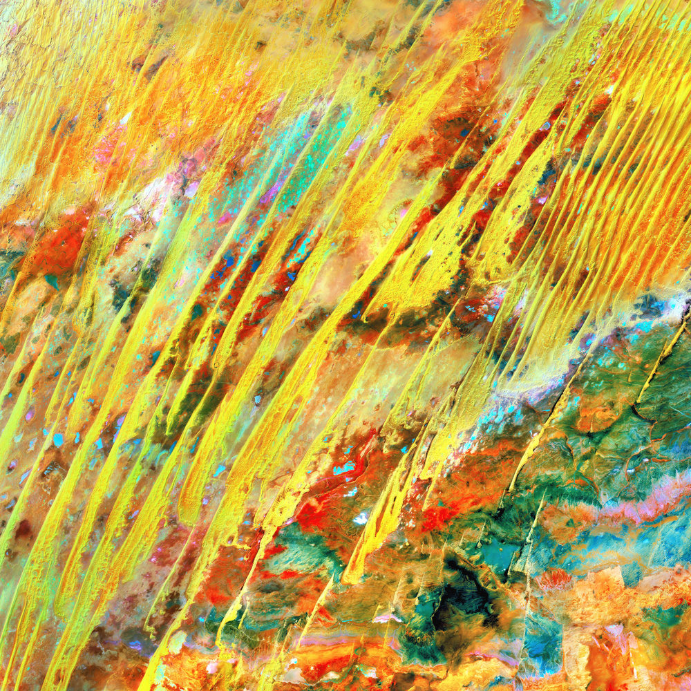
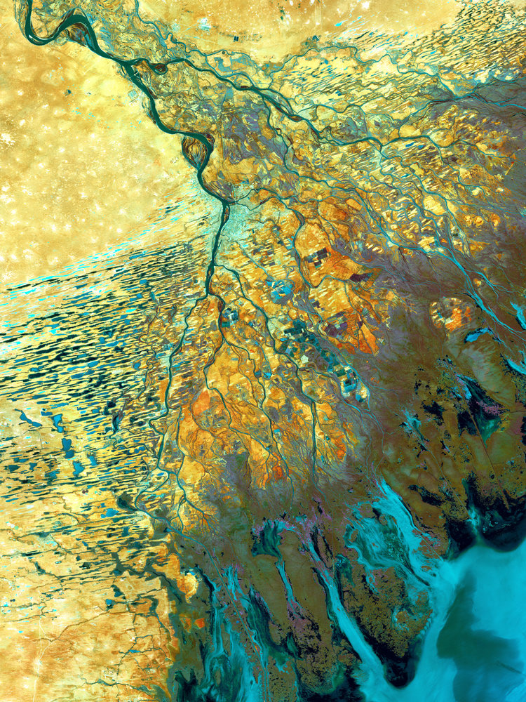
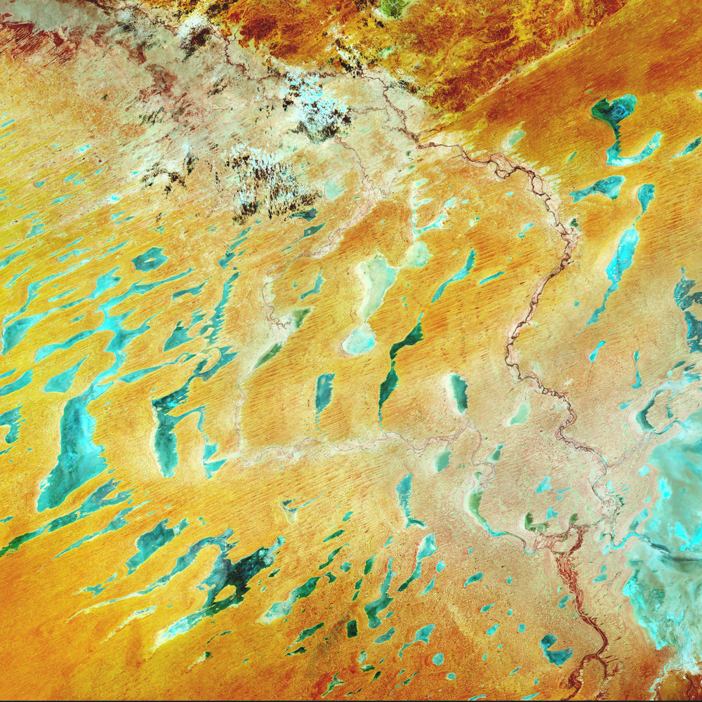
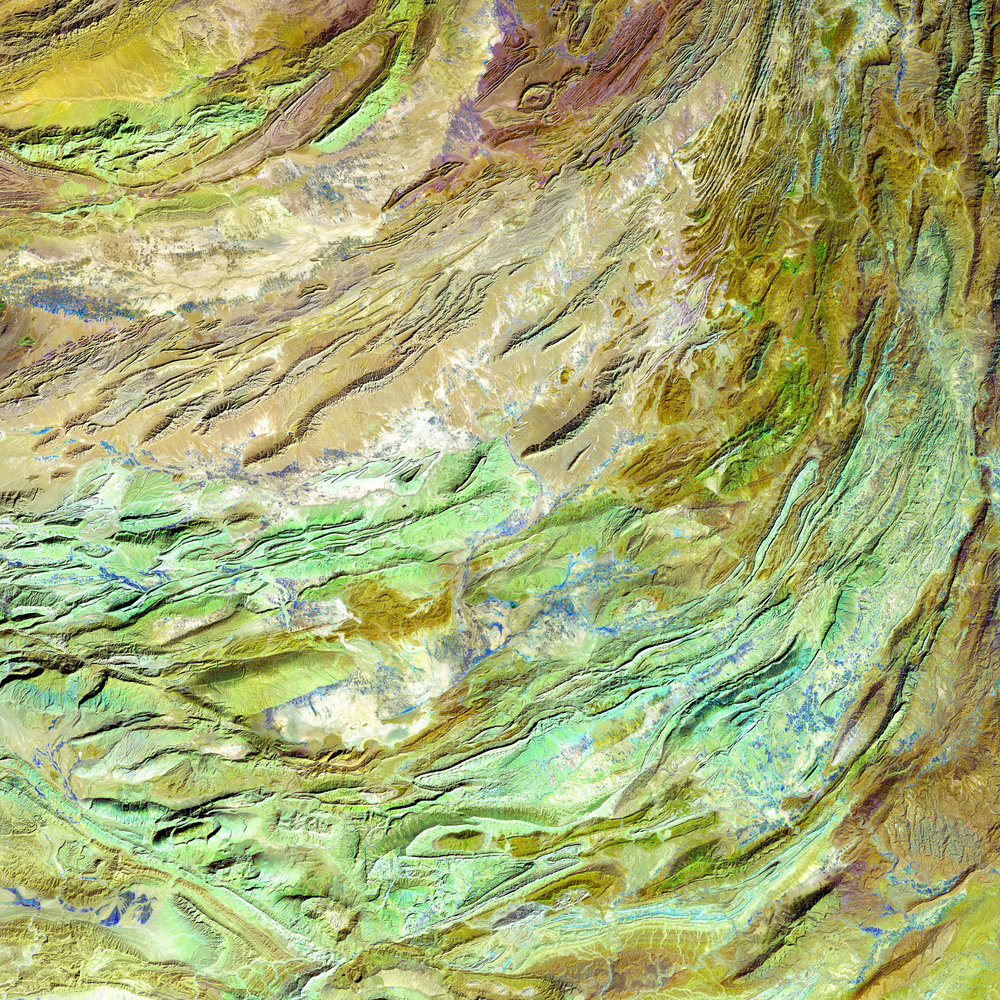
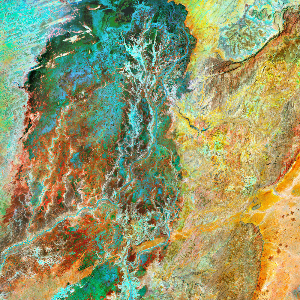
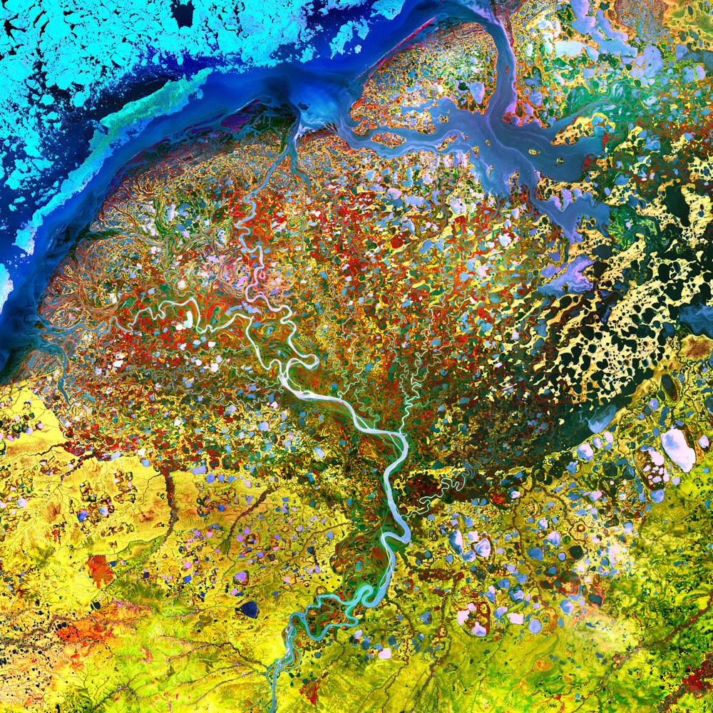
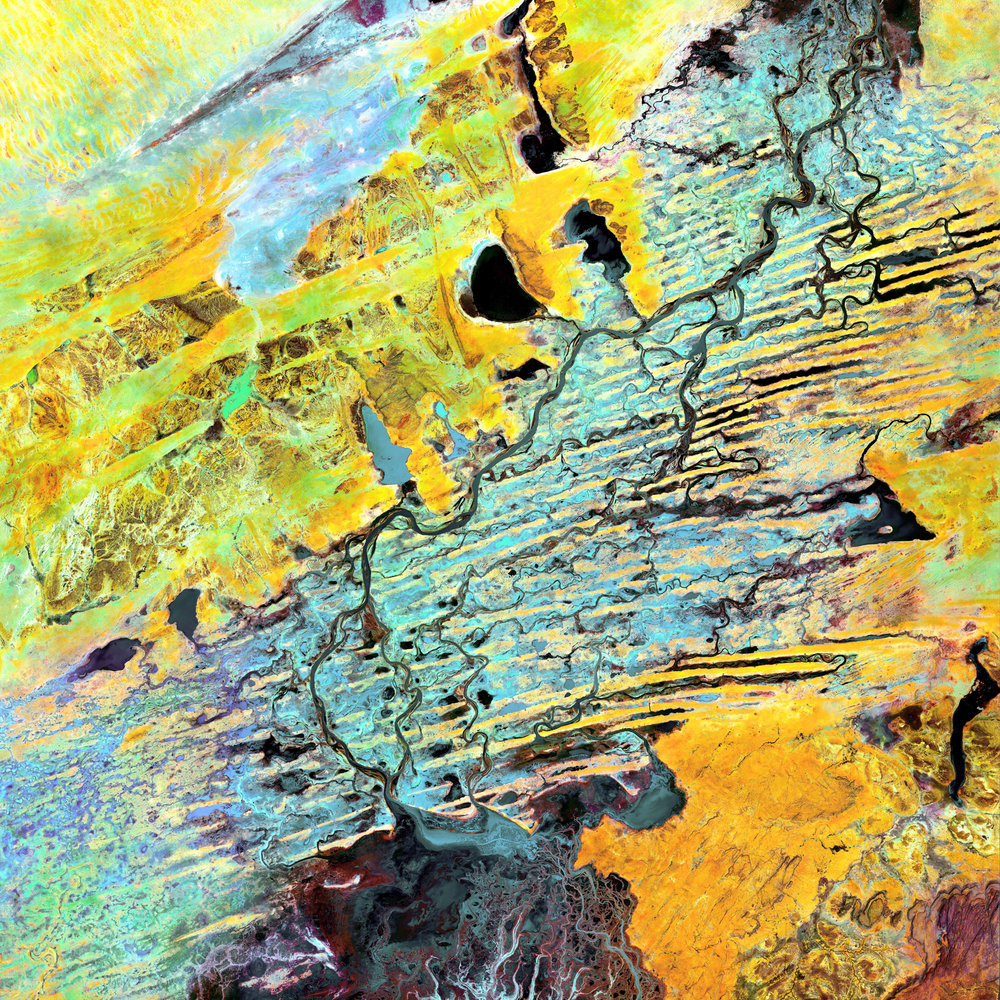
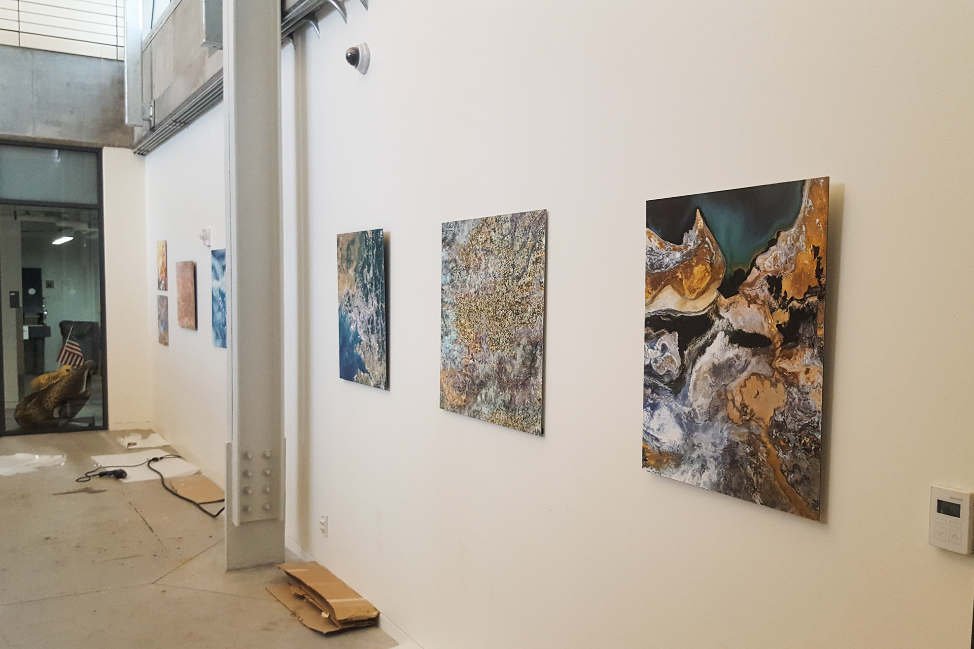
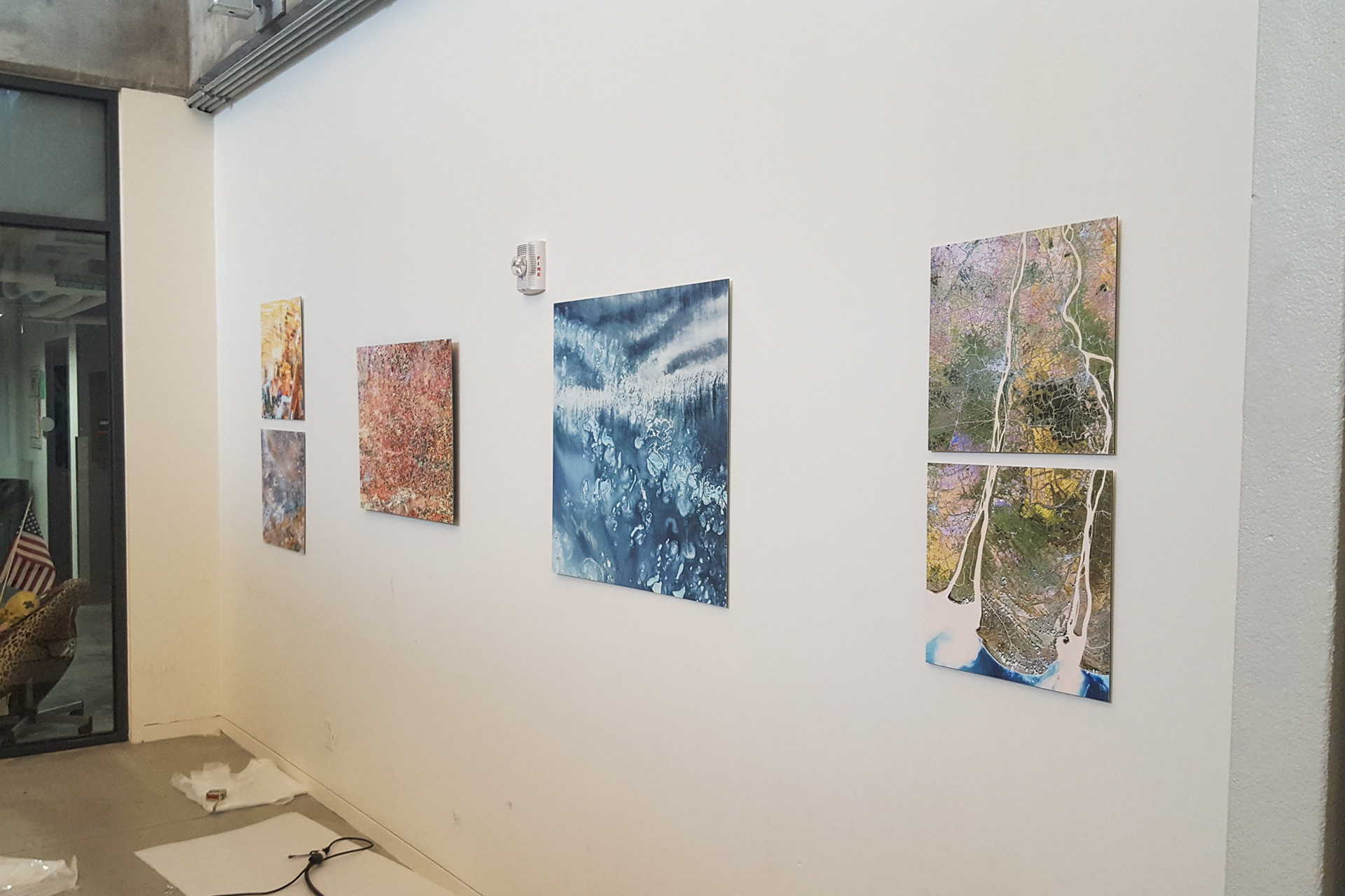
This artwork uses false-color imagery from these remote-sensing satellites to explore humanity’s interventions in landscapes around the world. Specific color schemes and locations are used to illustrate the unique human mark. A self-created method of digital processing is used to create these majestic scenes. A single pipeline traversing the Jili Lake Desert in western China. Widespread circuit board-esque fracking in New Mexico. Perfect squares of industrial agriculture soaking up the Ogallala Aquifer in the mid-west USA.
The satellite makes a useful tool for introspection for it is often the outside perspective which allows us to most thoroughly examine our strengths and weaknesses.